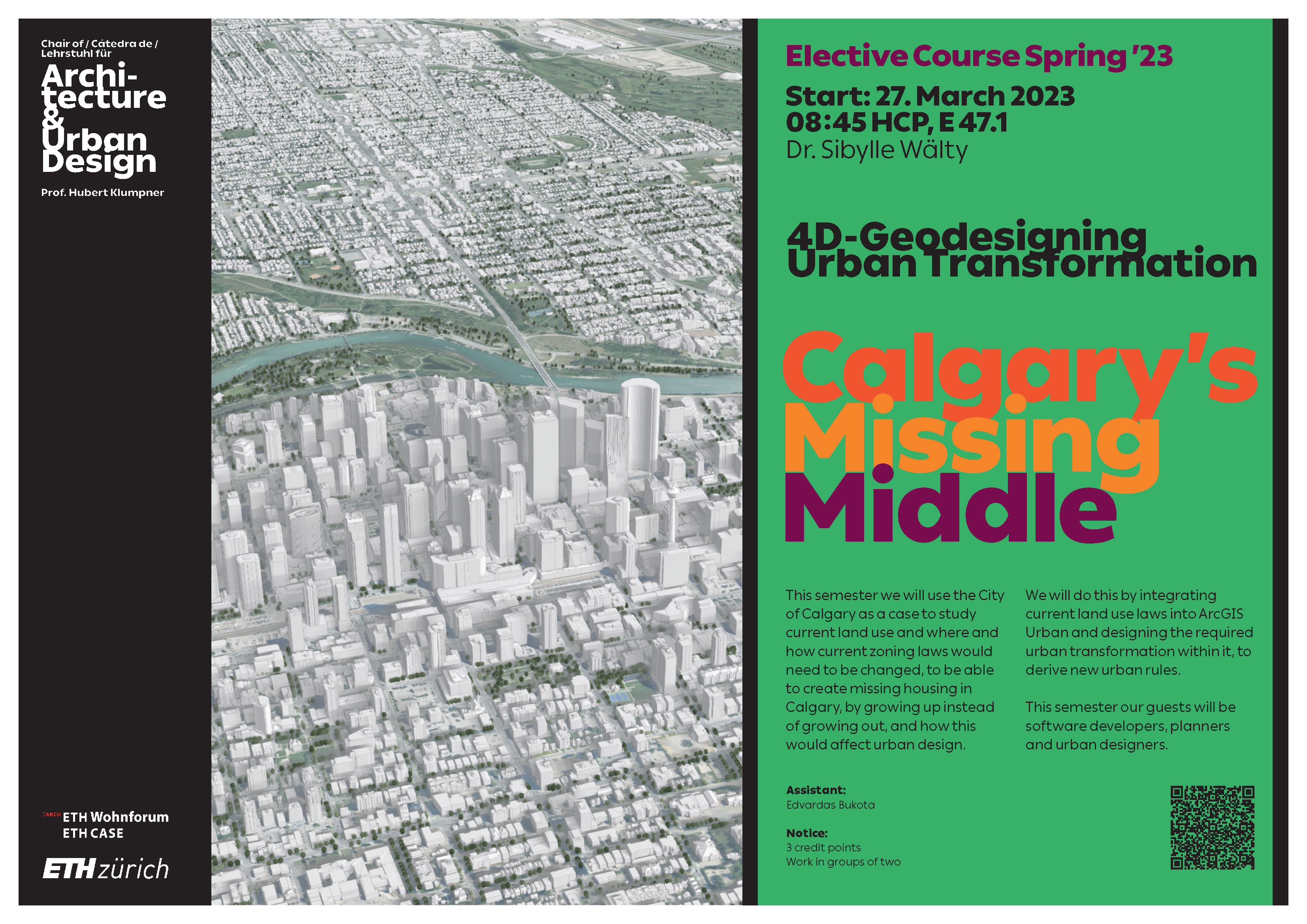
This semester we will use the City of Calgary as a case to study current land use and where and how current zoning laws would need to be changed to be able to create missing housing in Calgary by growing up instead of growing out and how this would affect urban design.
We will do this by integrating current land use laws into ArcGIS Urban and designing the required urban transformation within it to derive new urban rules.
Furthermore, the exchange with software developers, planners and urban planners is planned as our guests.